Posts

The Hike of My Life-4 Days in the Knuckles Range:Day 2

Image
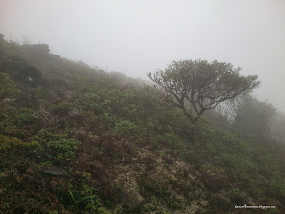
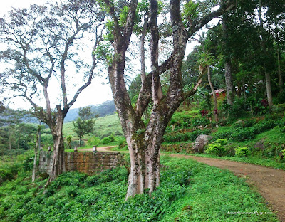
(From Bambarella through Kalupahana along Kalu-ganga to Rambukoluwa and Pallegama) Continuing from  The Hike of My Life - 4 Days in the Knuckles Range:Day 1 Day 2 Amidst the freezing cold and thick mist, we managed to pack our camping gear early in the morning and start the hike. Our plan was to climb down a little further and find a way to go around the mountain to avoid the cliff, so it took about one and a half hours when we were climbing another mountain, which seemed to be to the east where the huge cliff was, and could get to the top of it where there was another cloud forest beginning from the top, which we had no choice but to cross. You can see the mountain I mentioned below (first photo) and the forest on top (second photo). If you zoom in, you’ll notice the cardamom trees, which are about 6 feet tall. This is the sight that made us jump for joy, since this was the first clue that our first destination was closer. ...

The Hike of My Life-4 Days in the Knuckles Range:Day 1

Image
(From Bambarella through Kalupahana along Kalu-ganga to Rambukoluwa and Pallegama) “The hike of my life” as the title says, was an experience of a lifetime for me and four of my friends, which pushed us to our limits for four days in the wilderness in the Knuckles Range. Day 1 On July 17th, 2013, it was 7.30 a.m. when the Wattegama-Bambarella bus reached its last stop-Bambarella, 38 km away from Kandy. After getting some misleading directions, we finally found the entrance to Lebanon Estate and along the estate vehicle track, we headed for Rathnagiriya Estate. Lebonon estate vehicle track Lebonon estate On the way, we met ‘Maniraj’, a farmer living in that area who used to work in a cardamom estate in Kalupahana 15 years ago. He showed us great hospitality by inviting us to his house and also put us in contact with another person named ‘Kob...

From Horton Plains to Bogawanthalawa

Image
Hiking Kirigalpoththa Mountain and the Bridle Trail This hike consisted of two trails: Kirigalpoththa, the famous nature trail, which is also the second highest mountain in Sri Lanka with an altitude of  2388m above mean sea level and the Bridle Trail, which is also famous among hikers and has a history dating back to the colonial era. (Special Permission from the Department of Wildlife is needed to do the bridle trail.) The crew consisted of me and three of my friends. We left Colombo on the night mail train to Badhulla, which leaves at 8 p.m. from Colombo Fort and arrived at Ohiya at 5 a.m. the next morning. From there, we hired a van to go to Horton Plains visitors' center. It was early in the morning, actually we were the ones who woke up the officer at Horton Plains entrance :D We knew that the earlier you go to Horton Plains, the more sambar deer you get to see and of course we did. After passing the entrance, we saw hundreds of sambar deer roaming the plains. Even though...

Hike to Horton Plains from Belihul-oya (Ihalagalagama)

Image
It's too late. The hiking-mania has already carved itself into our minds and this hike was like one of our dreams come true, so without any goofing off, here's our next hike, to Horton Plains from Belihuloya, Ihalagalagama. With a crew of 4, we arrived at the Colombo Fort bus station to catch the Badulla bus (route no. 99). It was around 1.00 am and the bus left at 1.45 am from Fort. After a journey of 4 hours, we got off right in front of Belihuloya Rest and you can see the road to Ihalagalagama running uphill. It was exactly 5.58 am when our hike began. The plan was to go across Nonperial Estate-Nagarak division to Horton Plains through World's End observation point to Ohiya and catch the night mail train back to Colombo. This hike is considered to be one of the toughest in Sri Lanka, so we had be more cautious than our previous ones and also this trail is prohibited after 2006 and a special permit must be obtained from the department of wildlife to do this hike and also ...